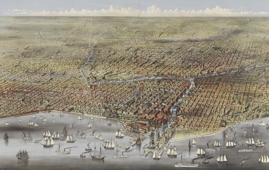
Who gets what land, and where?

A detailed street map showing the Mecca Flats (lower right, in pink) in its Bronzeville neighborhood. Greely-Carlson Company 1892.

A Home Owner’s Loan Corporation map indicating the areas of the north and west sides of Chicago that the agency classified as “Best” (green), “Still Desirable” (blue), “Definitely Declining” (yellow), and “Hazardous” (red).
Land and The power of mapping
Creating maps, like anything done by humans, is a socially situated practice. This practice is framed by discourses on heritage, politics, race, socioeconomics, and even archaeology. Maps make arbitrary lines that cannot be found on the ground seem just as real and natural as any feature of the landscape, even (or especially) when those lines are disputed by those whom they affect. Whenever we see a map, we should ask ourselves:
What can a map make visible, and what might it erase?
How do historical narratives materialize around maps, and what decisions are made in the process of committing narrative to boundary, of emplacing event on physical space?
How do we remember people, incidents, and things through commemorations as locations?
Through their abstractness, maps as human creations have real world political and social power. The Pokagon Potawatomi filed a suit based on a map implicit in the 1833 Treaty with the United States granting the Potawatomi possession of Chicago's lakefront. Municipal, state, and federal bodies pointed to a more contemporary map showing the great changes to that lakefront—most notably, its extension east—that they said made the terms of the Treaty irrelevant. The Pokagon Potawatomi's suit was dismissed by a federal court in 1917.
While dramatic, this was not the only instance of maps being invoked to disenfranchise Chicagoans. Restrictive covenants, redlining, blockbusting—all of these practices and more unequally shaped who could own what and live where in Chicago. Thus in considering our two neighborhoods of the Gold Coast and Bronzeville, we must contend with the racist policies that formed the city’s Black Belt and the neighborhood around the former Mecca Flats.
Redlining, Restrictive Covenants, and Blockbusting
Redlining (as discussed more in depth here) was an outcome of the 1933 Home Owners' Loan Act, which created the Home Owners’ Loan Corporation. The agency guided banks and other lenders by assigning grades to borrowers' neighborhoods; chief among the criteria for those grades were perceptions of “neighborhood security”. The area surrounding Mecca Flats, designated Chicago D52, was marked by a literal red line on a map as “Hazardous", the lowest possible safety grade (Mapping Inequality: Redlining in New Deal America 2022). Poor grades for Black borrowers' neighborhoods pushed access to mortgages or other home loan financing, and thus the possibility of home ownership, out of reach for many. In effectively ruling out home ownership, and subjecting many Black residents to predatory rent for dilapidated housing in “hazardous” neighborhoods, redlining undermined the creation of intergenerational wealth (Mitchell and Franco 2018:10). The “red line” drawn around these neighborhoods by the Home Owners’ Loan Corporation discriminated against those living there, excluding them from the financial possibilities of home ownership and further segregating the city.
Restrictive covenants are “official legal tactic[s] used across the nation to prevent African Americans and other minoritized racial/ethnic groups from purchasing homes and/or living in residential areas designated as white communities” (Odugu n.d.). In Chicago, language was included in property agreements that prevented Blacks, Jews, and others from minority groups from renting or purchasing properties. Like redlining, restrictive covenants perpetuated segregation across the city. Many of these covenants are still on property deeds, even if they are no longer enforceable.
Blockbusting as a segregationist real estate practice “refers to the efforts of real-estate agents and real-estate speculators to trigger the turnover of white-owned property and homes to African Americans” (Hirsch 2005). After convincing white homeowners to sell their properties at below-market rates because of racist specters of Black neighbors, the real-estate agencies would sell the properties at above-market rates to Black families. When people talk of “white flight” in Chicago—white Chicagoans leaving heterogeneous urban neighborhoods for majority white suburbs—blockbusting was often part of the story.
Legacies on the 21st-Century Landscape
The power of maps is sometimes obscured by statistics. Of the 2,746,388 Chicago residents counted in the 2020 Census, 863,622 (31.5%) self-identified as white, 819,518 (29.8%) as Hispanic, 787,551 (28.7%) as Black, and 189,857 (6.9%) as Asian (Ruthhart et al. 2021). While these numbers represent a 10% drop in the Black population from the 2010 Census, the rough parity of the Black and Hispanic numbers with those of whites could be read as indicating a growing equality. And yet those nearly equal portions of the population are not at all equally distributed geographically. Chicago continues to be one of the most spatially segregated cities in the United States. This interactive map shows Chicago segregation patterns by race; in 2020, the Black Belt remains visible in the landscape and in lived experience over 100 years after the start of the Great Migration.
By contrast to these other large census groups, the Indigenous population of Chicago declined from the beginning of Euro-American encroachment and colonization of the area, though it was bolstered by the 1952 Urban Relocation Program. As of 2020, there were 34,543 self-identified American Indian and Alaska Native residents of Chicago (1.3% of the total population). That decline and rise reflect centuries of map-centric relations with the federal government. Native peoples were expected, first, to remove themselves from advancing white settlements, then to contain themselves within reservation boundaries that frequently had no relation to their traditional territories, and finally to relocate themselves in major urban areas. Raw numbers, of course, cannot do justice to the nuances of collective identity as they have played out across the Chicago area; consider, for instance, the mixed Haitian-Potawatomi family of Jean-Baptiste Pointe DuSable, Chicago's newly commemorated first non-Native resident. The pattern of ethnic, racial, and socioeconomic segregation that persists even as Chicago's population diversifies—both in the aggregate and in residents' self-identification—reflects the effects of generations of intentional legislation and map-making that can seem natural if we do not interrogate them.
< Previous Page | Next Page >